
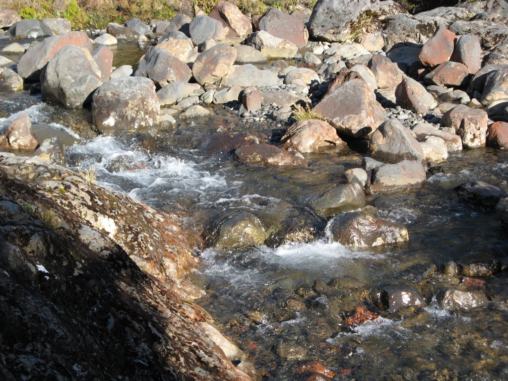
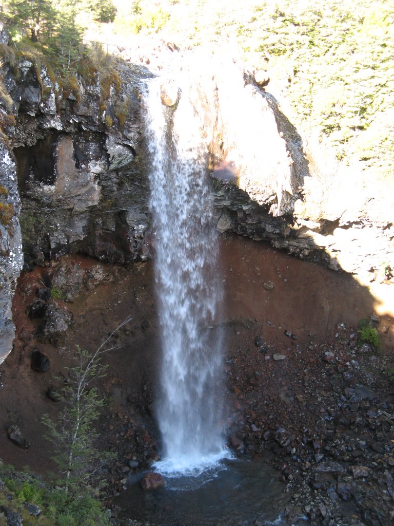
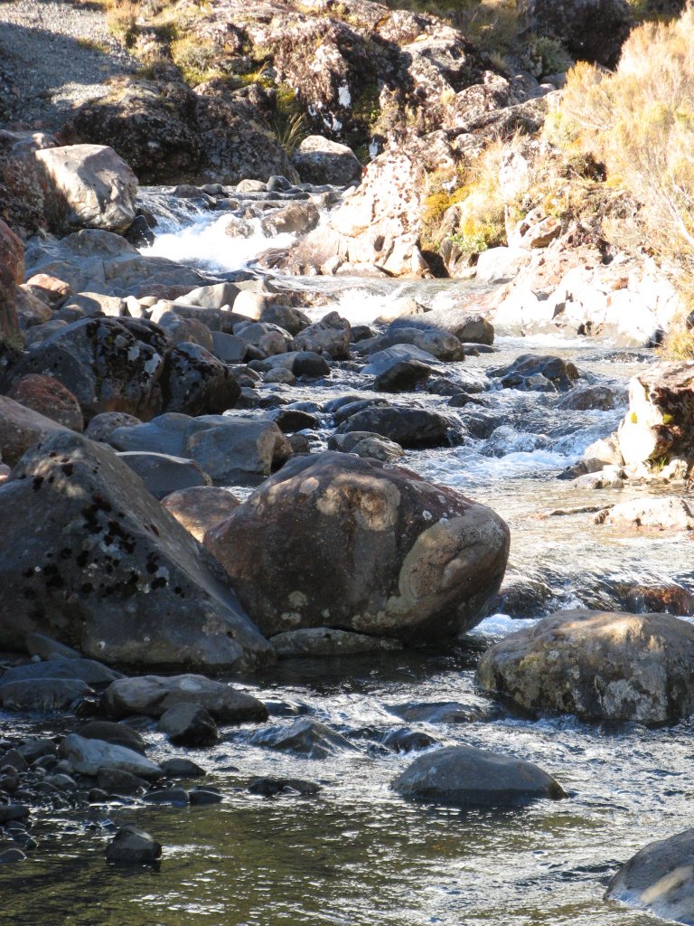
Tongariro Alpine Crossing and Mount Ngauruhoe (Mount Doom, Middle Earth)We drove straight north to Tongariro National Park in the center of the island so as to do the Tongariro Alpine Crossing the next day. The i-site lady at Ohakune (a village outside the park) booked us into the Alpine Motel for 2 nights and we paid for the Matai shuttle that would drop us off and pick us up for the Tongariro Alpine Crossing trek. Before dinner, we drove up along the local river about 30 km to a waterfall (Mangawhero Falls) said to be used as the location for 'Ithilien' in Lord of the Rings in the scene of where where Gollum catches a fish and eats it raw, in view of Frodo and Sam hidden in the bushes. 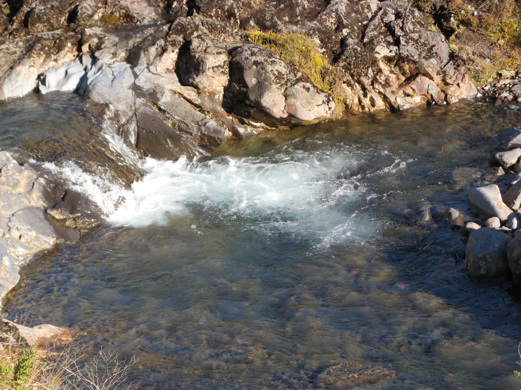
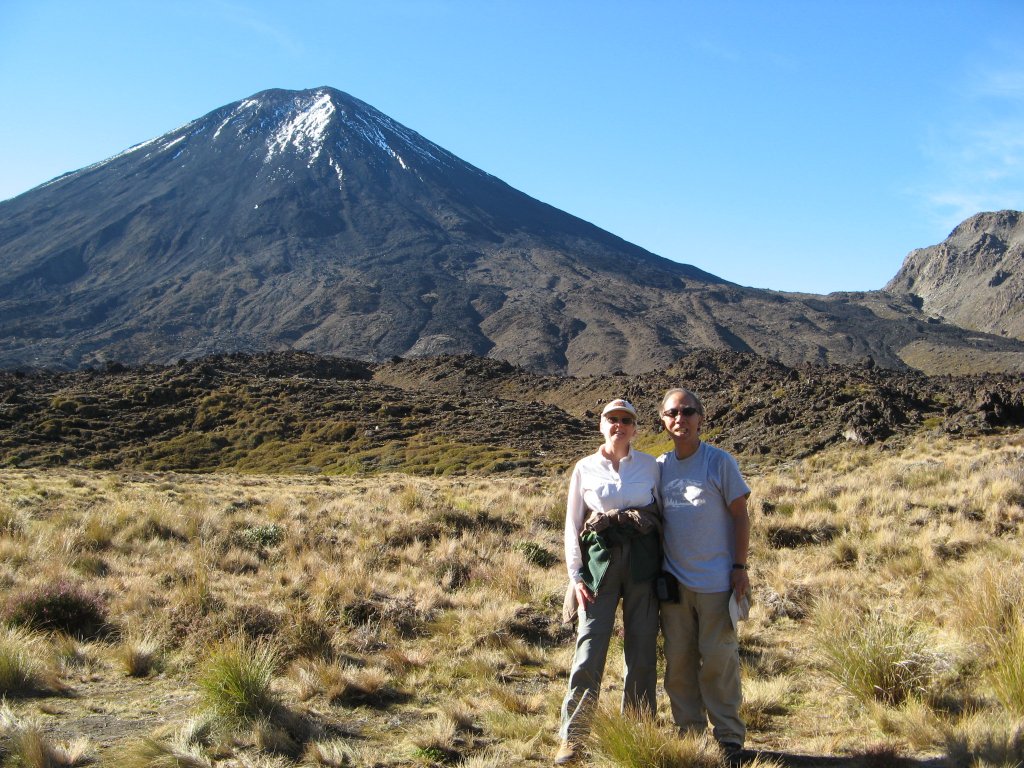
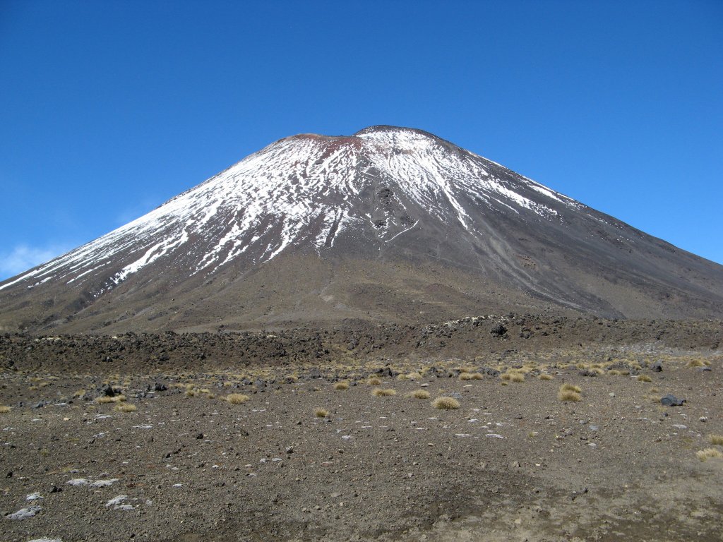
 Monday March 5thThe Matai shuttle bus took us into the National Park. On the 40-minute drive, the shuttle driver gave a little history – role of the Chinese workers in bringing the railroad to this area. For this section of railway through the mountains, there was a two year delay for surveying and engineering a good route. The Chinese workers had some down time and began experimenting with planting vegetables and discovered the volcanic soils were terrific for growing carrots and other root vegetables. Now 95% of New Zealand’s carrots are grown in this area. We saw they even feed sheep with carrots in this area. The Tongariro Alpine Crossing is a hike up to the saddle between 2 volcanic peaks, Mt Ngauruhoe (Mt Doom in Lord of the Rings movie) and Mount Tongariro. In addition, there is a higher snow capped mountain (Mt Ruapehu) to the south. It was a very popular hike even before the Lord of the Rings movie. It is 19.4 km long, with an elevation gain of 800 m on the way up and a drop of 1100 m on the way down. It is not a loop track and so we have to arrange for pick up after the hike (easily done with plenty of available shuttle services). Most people do this track in a day – an exhausting day of 8+ hours of hiking. But the scenery is way worth it, even for these 2 jaded Pacific Northwesterners. We were lucky with the weather. It was sunny with clear blue sky, with just a few cumulus clouds here and there. A thousand people do this hike every day, so we were not alone. There were long lines at each outhouse and on the trail. There was good opportunity for people-watching and occasional conversations. One couple likely in their 70s (wearing Bar Harbor, Maine T shirts but turned out to be from Australia) made it up to the top of the saddle. We did not do the side trail to the summit which would have taken an additional 3 hours (looked like 4 to me!) but continued over the crossing, which included a crater crossing and up to a saddle overlooking several lakes – first the three Emerald Lakes, then Blue Lake. As you descend the trail to Blue Lake, the trail is very soft and eroded – sand slides under your feet with each step, and it is so steep it is best to position your feet sideways for extra stability. As you descend, looking back, there is a view of an unusual deep vertical gash/cleft in the side of the reddish rock rising above the lakes – good place for a creature like Shelob to lurk. 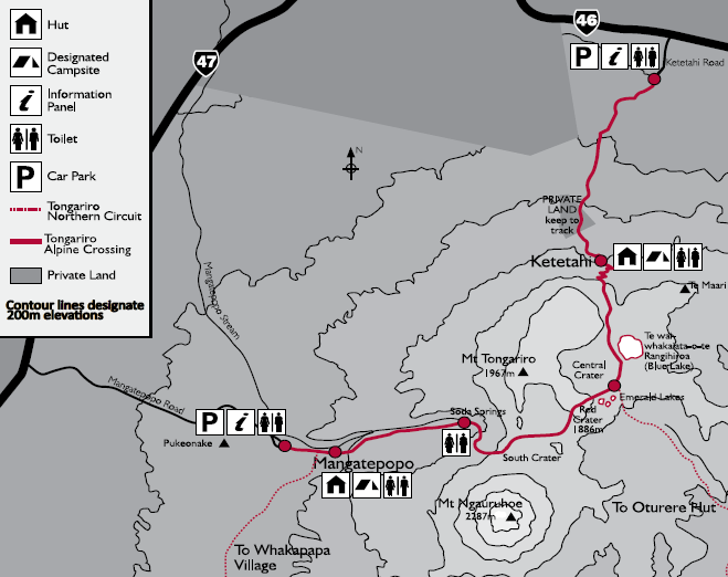
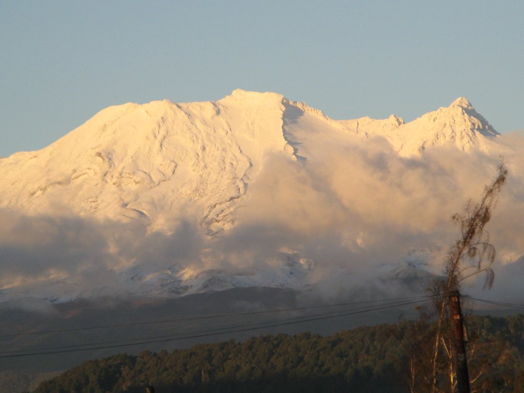
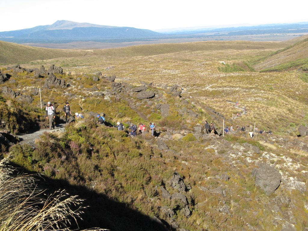
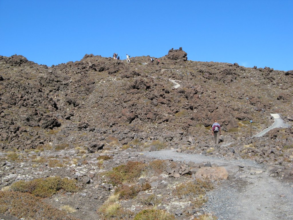
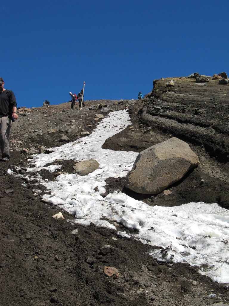
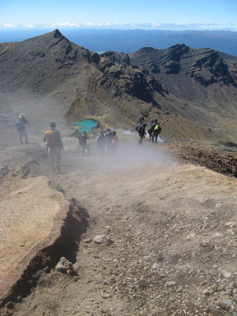
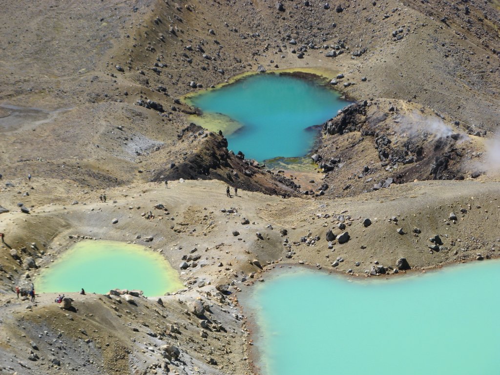
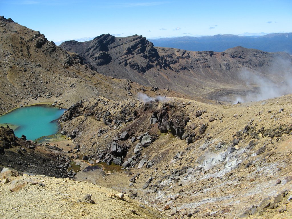
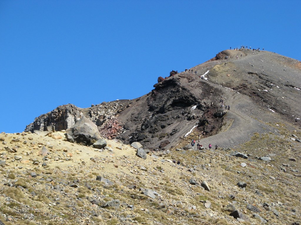
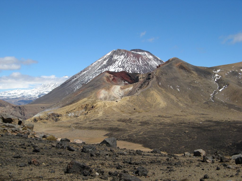

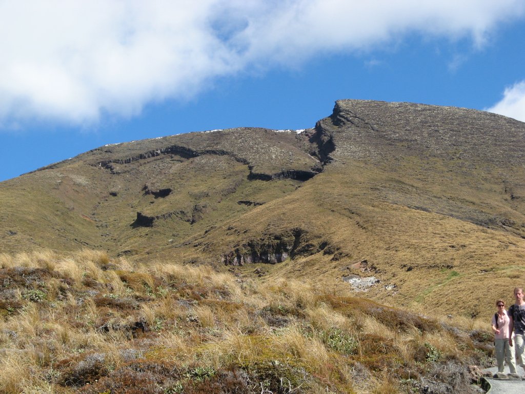
The crossing is 19.4 km, so not a trivial day hike. We only took one of our backpacks (stupid – should have used both packs and split the weight) so half the time one of us had no pack at all. With the sun we drank lots of water. The long descent from Blue Lake was uneventful. Even though most of it was above tree line, with views of Lake Taupo to the east, it got pretty monotonous. But the weather continued sunny, and there were almost no insects. Finally down to the vegetation – thick trees and many stream crossings via bridges. At the parking lot, we waited a half hour for the Matai Shuttle to come for us. Then we had to wait for four slower hikers and heard one of them was injured. But it turned out to be a middle-aged woman we had talked to on the descent. Her knee was hurting, but it was more strain than injury – just too much downhill. Sign Guestbook Back to Home Page AU-NZ Home Sydney Kangaroo Island Kepler Track South Island Rotorua Hobbiton |