
Journey of the "Fellowship of the Boat"After the Kepler Track, Elisha, David and Sally drove to Q-town to pick up Judy who flew in from Sydney. Then we joined the rest of the group (ten of us now) at Wanaka, where we stayed in 3 motel units of a Top 10 Holiday Park. 
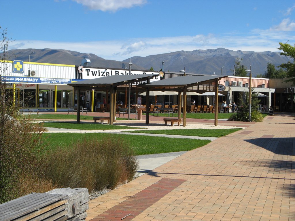
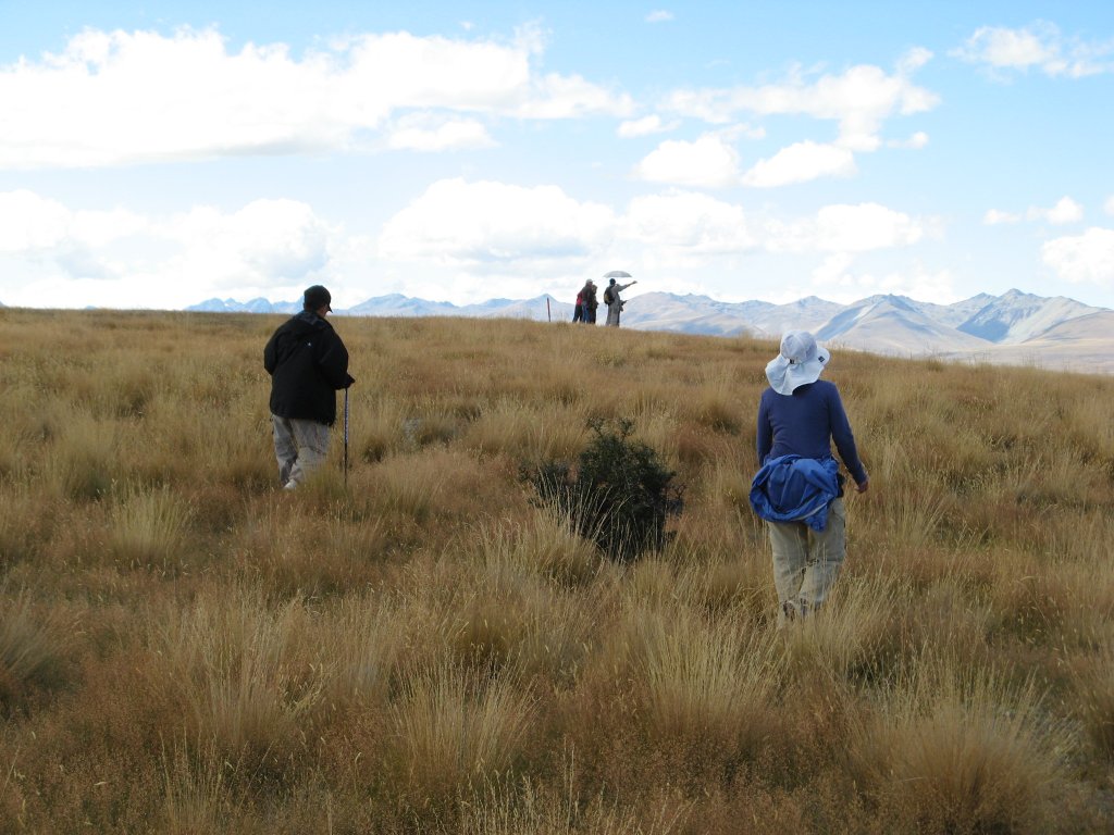
We drove to the village of Tekapo on the shore of Lake Tekapo. On the way, we stopped at a village Twizel where we were introduced to our first NZ blue cod fish and chip (and wedges). Tekapo was our base for two nights, with a day in between to see Mount Cook. We had time before dinner to visit an astronomical observatory on nearby hill and took a long walk (2 to 3 hours) around a peninsula on the lake. We saw many fecal pellets and wondered what animals since we do not see any sheep. As we reached the end of the peninsula, we start seeing burrows and a few rabbits. This is a rabbit hill. 


In the evening after dinner, we went outside to see the stars, wanting to recognize the Southern Cross. With the lack of city light, we saw tons of stars and the Milky Way. To our surprise, Orion was there though low in the horizon. We saw something that may be the Southern Cross, but we were not quite sure despite having David’s map of the southern hemisphere sky. It was later on after we bought a postcard of the night sky showing the South Cross that we were able to find it for sure. Sunday Feb. 26 Sally woke up with splitting headache from dehydration. (Not drinking enough water, plus wine for dinner the night before). We reorganized the cars so David and Sally could start later in a car by themselves. It was a 2-3 hour drive to Mount Cook National Park. A third of the time we drove alongside to Lake Pukaki, a beautiful elongated lake with an intense turquoise color. The color comes from the fine suspended glacial particles carried into the lake from rivers. 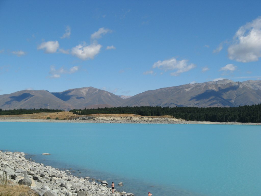
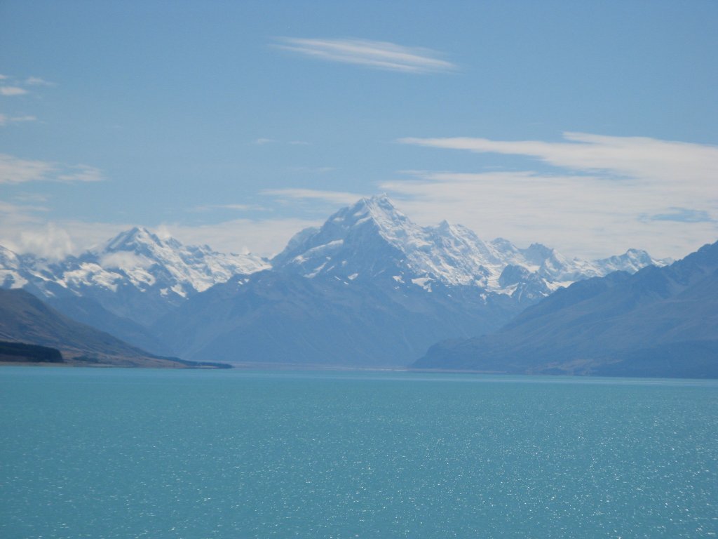
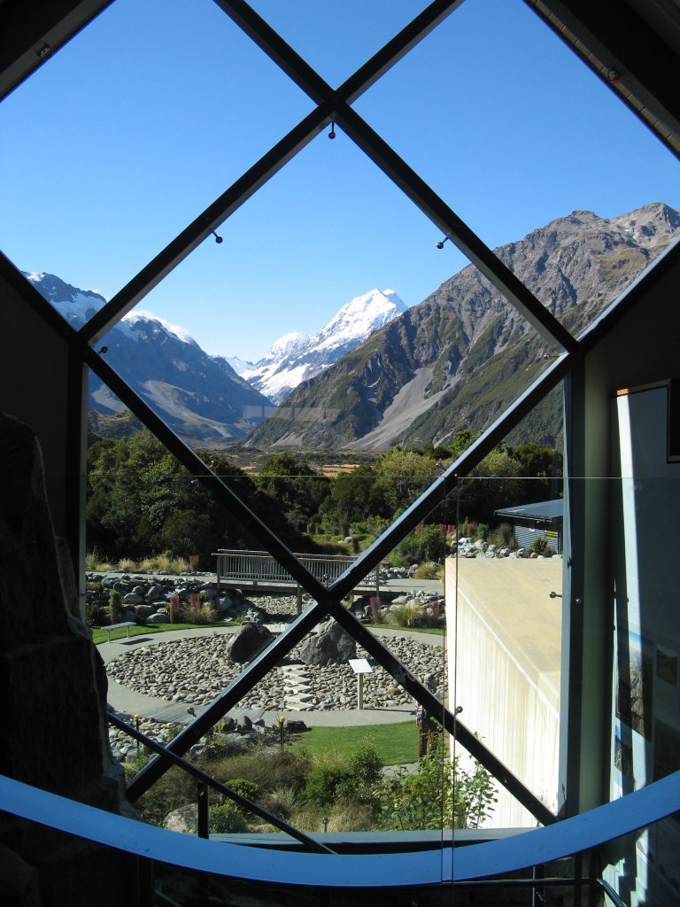
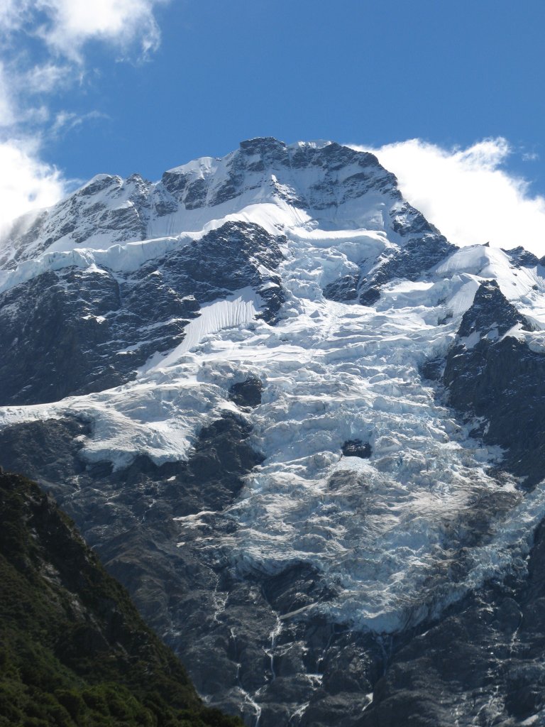
The summit of Mount Cook was hidden in clouds as we were driving. We stopped at Glen Cannon farm stop/tourist retail shop and met KK, Helen, Wing and Magdalen. There was a bale of raw wool sitting in the front of the retail shop, just for show and not for sale. Wing had the unusual idea of giving raw wool as presents to his friends back in the US because most of them have never seen such material. He negotiated with the cashier (a young woman from mainland China at a summer job) to take some handfuls of raw wool. She charged him $5.00 NZ. Sally found a postcard of the southern sky showing the Southern Cross which helped our constellation-finding. At Mt Cook National Park, David and Sally took the Kea Point trail to view the mountain. We didn't see any kea which is a species of parrot found in NZ. The clouds started to lift after we reached the viewing point so we could see the ice-topped, angular summit of Mount Cook clearly. The scenery was good especially the mixture of ice, forested hills and dry grassland in the valley. But Mount Cook did not make much an impression on Northwesterners like us who have Mount Rainier, Mount St. Helen and the Cascades in our backyard. 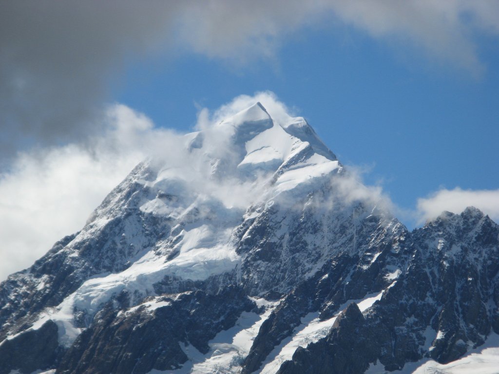

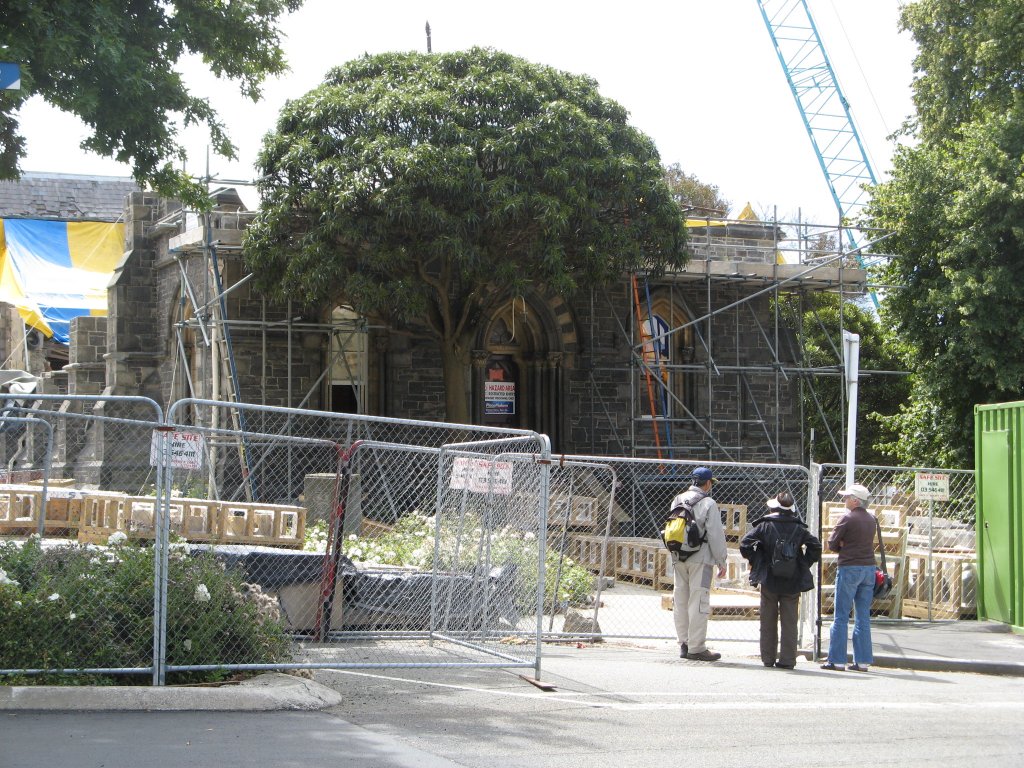
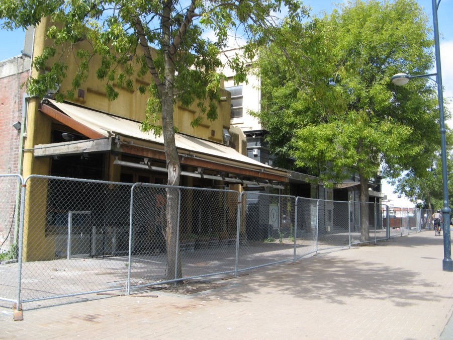
Monday Feb. 27 We left Lake Tekapo area to drive to Akaroa, a French-influenced scenic town on the east coast. The town is located on a peninsula east of Christchurch. To get there, we had to pass by Christchurch. While most of our travel mates went directly to Akaroa, luckily our group/car (Elisha, Judy, David and Sally) was in agreement that we wanted to go into Christchurch to get a sense of the city’s status a year after the big earthquake that killed 185 and ruined many buildings in the city center. Actually there were three or four earthquakes/aftershocks noted – September 2010, a 7.1 with epicenter in the countryside, February 22, 2011 just a year ago with epicenter right under the city, then June and December 2011. It took a while to get into Christchurch. There are very few limited access highways (i.e. freeways) in NZ. There is no freeway in Christchurch although it is the third largest city (it was the second largest city until the earthquake after which a lot of people moved away). The roads leading into the city were bumpy due to damage from the earthquakes. In addition, there were lots of detours because of destruction and construction. To complicate the matter, we did not have a detailed map of Christchurch. NZ has a great network (in cities and small towns) of tourist information centers (called i-Sites) run by the government (central and local, I believe). People can get help – maps, hotel reservations, tickets for tourist attraction, etc. at these i-Sites. Our plan was to go to the Christchurch i-Site to get information. With the detours, we got lost before getting to the i-Site. Luckily David had an Android phone with a built-in GPS. Although his phone did not work in AU and NZ (for the geeks - his phone uses the CDMA cell phone network technology while AU and NZ use the GSM technology), it can receive GPS signals anywhere in the world (GPS is GPS – it is not a cell phone). David had anticipated this issue and had installed an app which uses GPS signals and downloaded (and saved on the phone) maps of NZ. With this app running (without cell service), we were able to find our way in the city. In fact, it got us out of jams several times after we made wrong turns on the highway. For the geeks that are interested in a poor man's GPS that can be used all over the world (no cell service nor data plan needed), here is the link for the Outdoor Atlas for Android. Due to earthquake damage, the center part of the city was a condemned red zone and fenced off. This included the historical Christchurch Cathedral, part of which was still standing. There was an intense debate going on in NZ on whether to tear it down completely and replace it with a modern structure, or just rebuild it. We saw lots of cranes and construction activities inside the red zone. It was a mixed bag with some empty store fronts in the vicinity of the red zone. 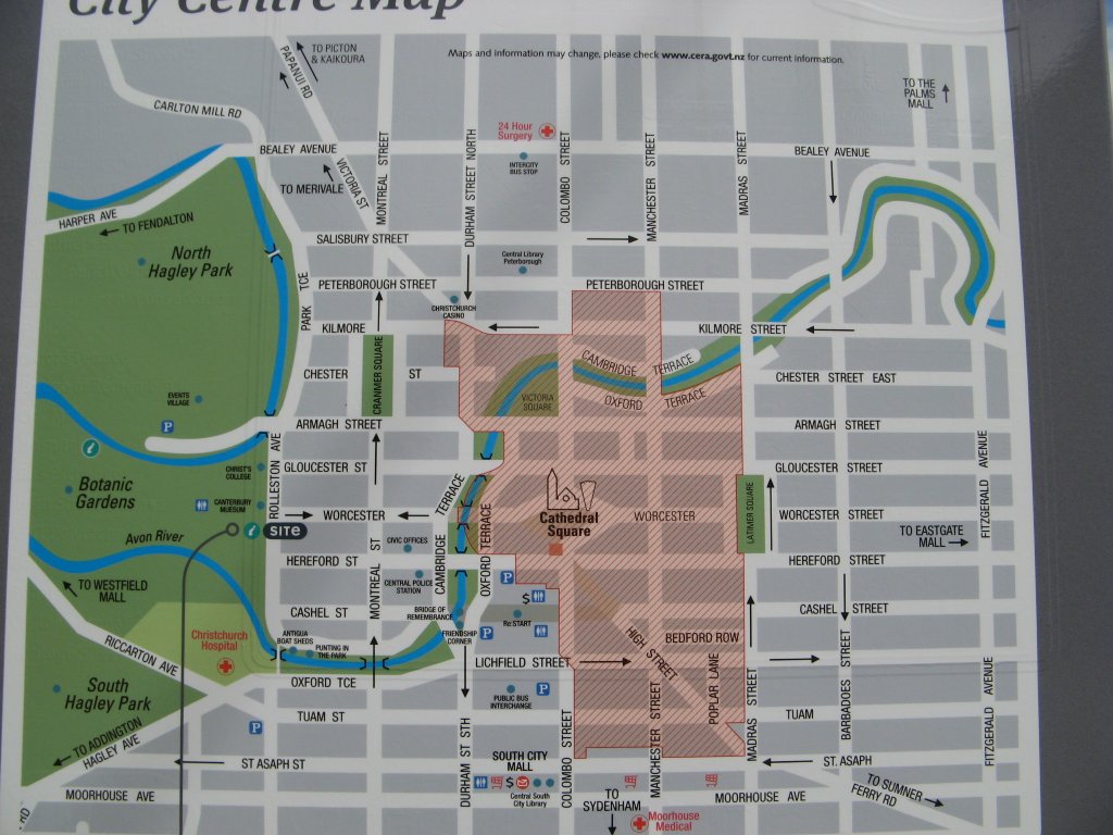


We saw a poster for an exhibit of the World of WearableArt (WOW) Art Festival at the Canterbury Museum. We convinced Elisha and Judy to see the exhibit. We also saw a newly-opened exhibit about the earthquake and its effects on locals. Sally discovered WOW while researching for things to do in Nelson. WOW was conceived 20 years ago by Nelson sculptor Suzy Moncrieff as part of a promotion for a rural art gallery. She devised the idea of taking art off the wall and adorning the human form. Since then the show has grown to become New Zealand's largest and most dynamic art event. WOW has a museum in Nelson, but the annual show itself is held in Wellington nowadays. We did not take pictures of the exhibits since they prohibited cameras, but you can see them at www.worldofwearableart.com 
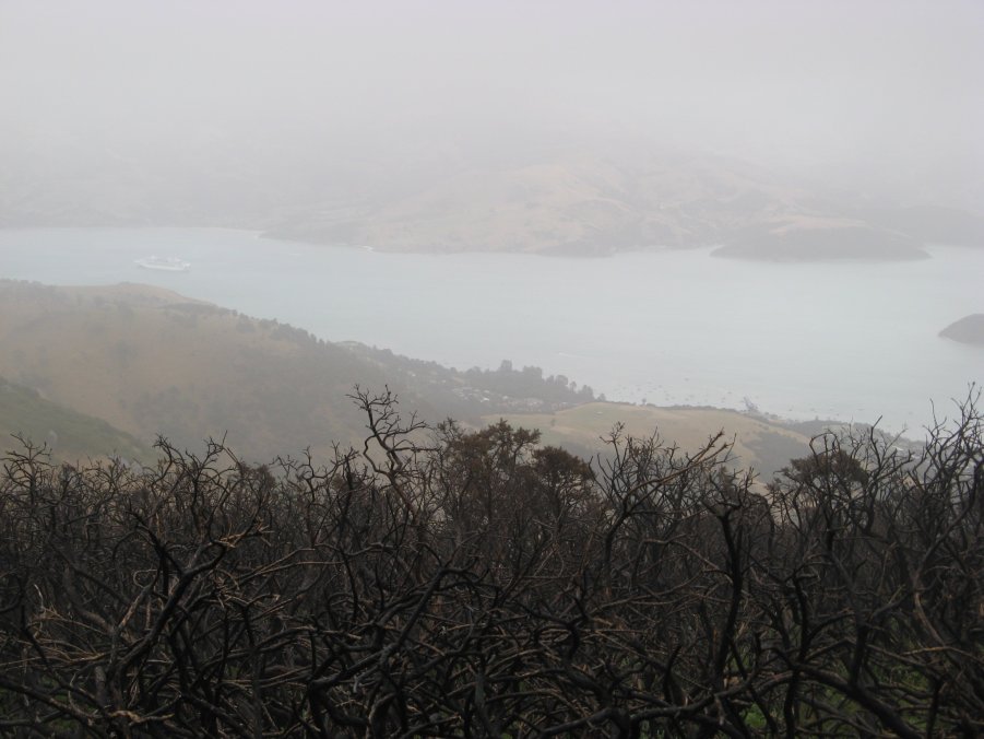
Akaroa is a French-influenced scenic town, but all that is left of the French are the street signs (all starts with Rue) and restaurants (the Thai restaurant that we ate in is called "Le Thai"). Helen told us she found the best fish and chips place in NZ here. Unfortunately it was out of fish and chips by the time we reached there. (Akaroa is a popular port of call for the cruises. The village swells with tourists when the cruises disembark their passengers. I suspect that they ate all the fish and chips that night.) So we never got to try it. Tuesday Feb. 28 Judy, Elisha, David and Sally did a morning walk on one of the hills behind Akaroa. We drove up above the town on a gravel road, precariously narrow with occasional cattle on or near it. It reminded me of the hills above Taormina in Sicily. The walk was only 5-6 km but it was in the mist, cloud, rain, and we were walking through knee-high grasses that were wet. Water ran down our pants and into our socks and into our boots. (The boots had not gotten so soaked inside even during the steady rain on Day 3 of the Kepler Trek.) We headed back home and spent the afternoon and evening drying things, although we did drive out for a visit to a cheese-making farm and purchased some orange double Gloucester and couple other cheeses - very nice. Besides the view, the Akaroa house has the benefit of beautiful gardens. Helen filled a vase with roses, and Elisha picked oranges from the unoccupied house next door. The oranges were really sweet and we ate a lot of them. 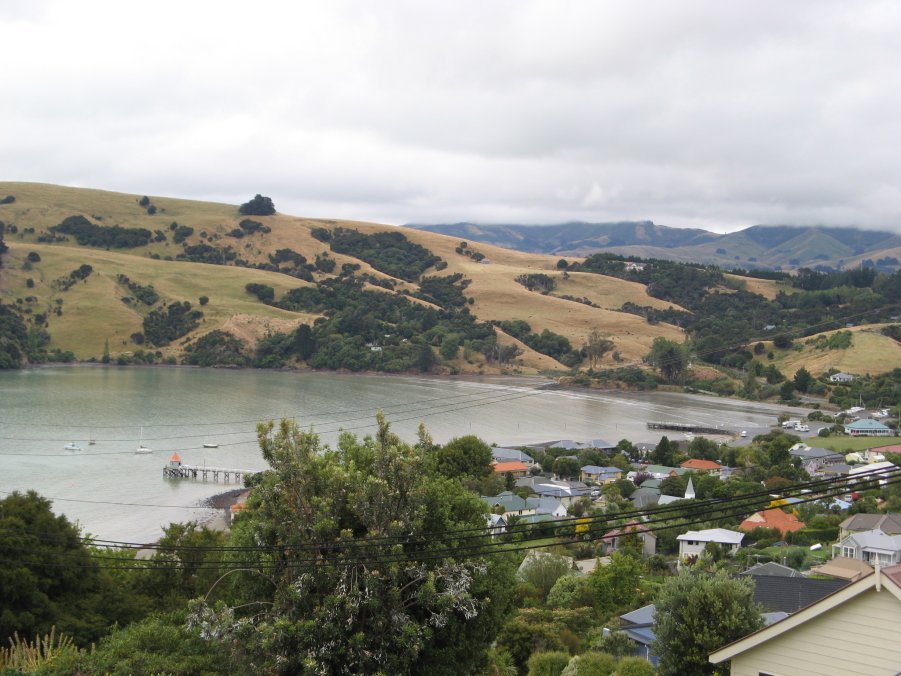
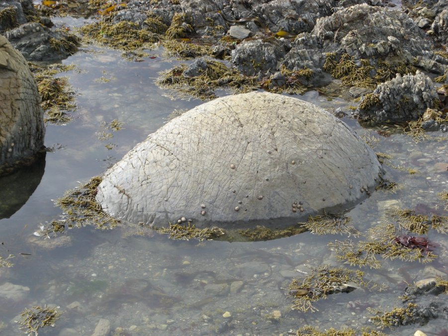
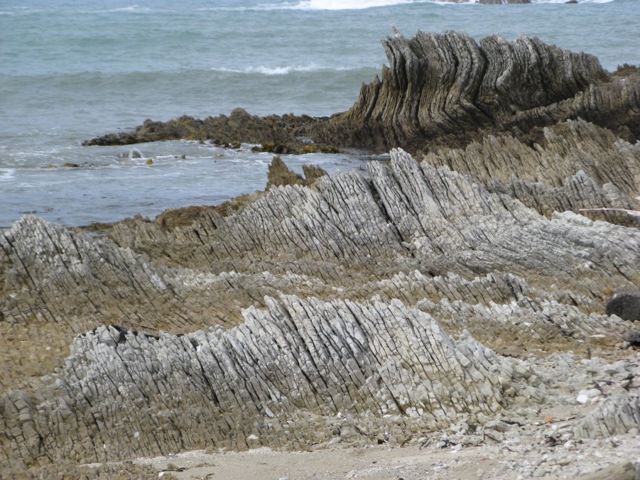
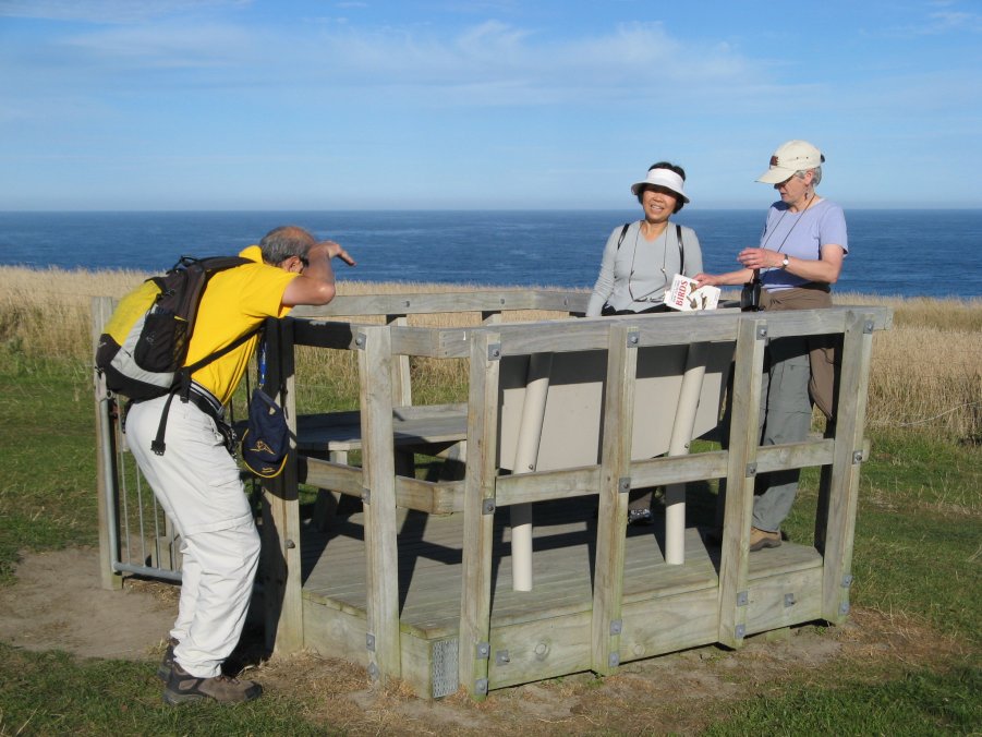
Wednesday Feb. 29 We left the Akaroa house and drove to Kaikoura, a coastal town with scenic bluffs and rocky shoreline around a point where seals often are hauled out, sunning themselves. We started with fish and chips (blue cod, of course) in town, then were able to connect with the two other cars and settle at the house (Driftwood Villa on the main road out of town, just a couple of km north of town). This was the nicest house of those we have been in so far. Once again David and Sally drew the bedroom number that would have put us in the kids room with bunk beds (We should go and buy lottery tickets!). Very kindly, Wing and Magdalen traded with us, so we had a good bedroom with a double bed and its own bath. Elisha, Judy, David and Sally went to do the bluff walk. We took binoculars and bird book and wanted to walk slowly to identify shorebirds on the rocky shoreline. We let Judy and Elisha march on ahead of us while we did the bluff walk at a somewhat gentler pace and enjoyed the views and took photos. We identified two different species of oystercatcher and a juvenile dotterel. 
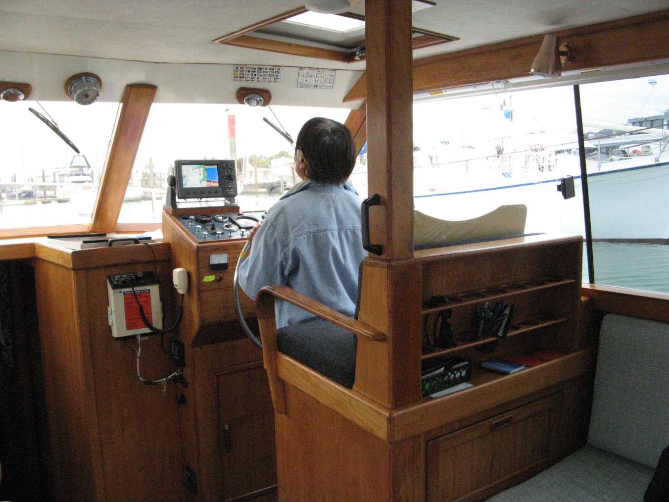
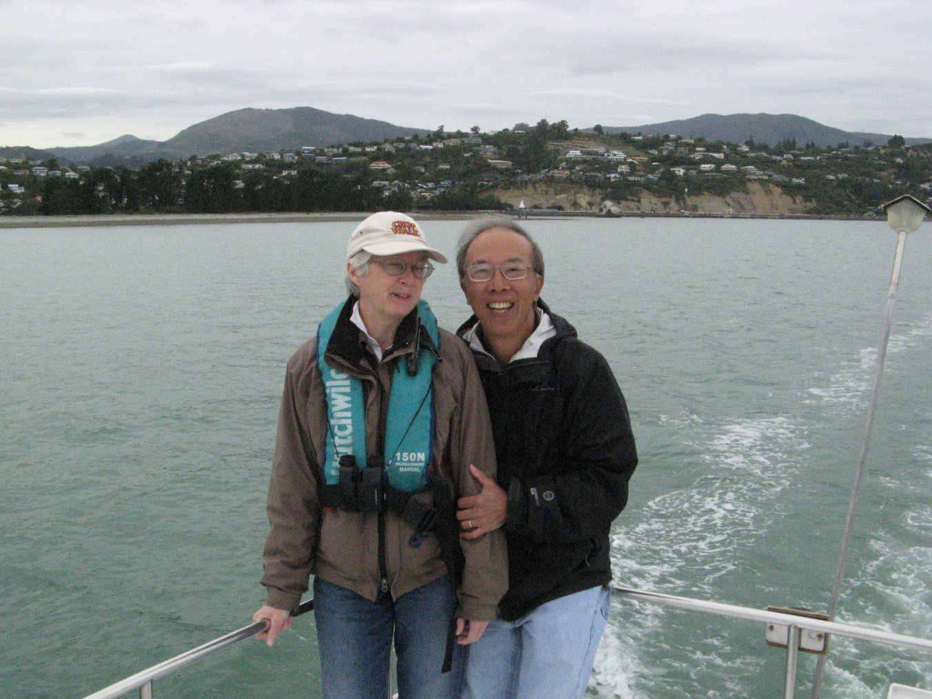
Thursday March 1st Sally woke up early enough to have a quick walk to the beach by herself, across the railroad tracks and behind the Kaikoura house. It had rained and was windy. The beach was black sand, nice surf, no longer raining. She walked out and there was nothing in front of her but the expanse of ocean, with sunlight shafting down through clouds onto the open horizon. She let the waves chase her back and sang “My Life Flows On in Endless Song” and “Dark as a Dungeon,” enjoying the solitude and beauty. We left Kaikoura and drove north to an area overlooking the Marlborough Sounds which connect to Cook Strait, which separates N and S Islands. There we did a walk called the Queen Charlotte Trek. Lok and Deborah joined us. We showed them the cicadas that were singing in the brush, and a couple more visible on a post. Down at the end of the trek, overlooking the water, we talked briefly with a couple who were Swiss-German (wife Italian). It rained a bit on the way back, but mostly pretty dry. We continued driving to Nelson where Helen has recently moved her boat from its previous berth in Motueka. Friday March 2nd Finally we were at the end of the journey for the "Fellowship of the Boat". At Nelson, we had three nights in the same house. The original plan was to have "Out There" docked at Motueka and use it to ferry us to hikes in the close by Abel Tasman National Park which is only accessible by boat. Now the boat was berthed in Nelson which is the other side of Tasman Bay. It was way too far (takes 4 hours) to get to Abel Tasman from Nelson. In addition, the weather appeared to be iffy to go on open water in the Tasman Bay. In the morning, the weather opened up enough so that we could do a boat ride with Helen and KK. A couple of local experienced mariners came along to help Helen at the helm. We went outside the breakwater of the Nelson harbor. We found out later that the breakwater at Nelson is actually a natural rock formation. It is interesting to see Captain Helen maneuvering the boat past shoals and buoys. In afternoon we drove to Motueka to look at the marina where Helen used to keep her boat. 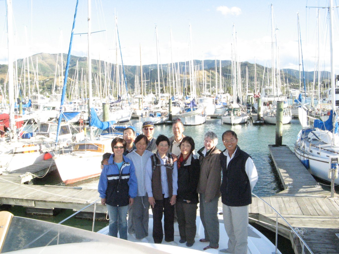



After all of us had cleaned up for the day and were snacking around the dining room table, we had some long conversation, deliberately touching on choices we have made/will make – did you spend the big bucks for private colleges for your kids? Have you signed up for long term care? Will you leave inheritance to your kids? What kind of church do you go to? David claimed that he is an atheist but not anti-religion. In fact, being a libertarian, he thinks one should take whatever religion he/she wants without interference from anybody. Sally belongs to liberal church which does not take the bible literally. The others go to fundamentalist bible-based churches. So the topics wandered to evolution, homosexuality, and even Halloween. A lot of these were sparked by David and Wing. It was an interesting and amiable discussion, and it lasted till late at night. At the end, we learned that one belongs to a certain church does not necessarily mean he/she abide or agree with everything the church prescribed. It is unfortunately that KK and Helen stayed on the boat while we were in Nelson. They probably would have enjoyed joining the discussion. Among the travel mates, I knew Helen the best before this trip. But due to car pooling, schedules and other unknown reasons, I found that I have not gotten to know her any better after this long trip. That is too bad. They have been great hosts though. Saturday March 3rd Elisha took Judy to the airport, and then joined us for a tour of a sheep farm. The farmer is a friend of Helen’s – she met him at the Motueka marina where he keeps a motor launch. We had tea and coffee with the farmer’s wife in their very beautiful home overlooking hills and valleys green with grass and dotted with their sheep – 400 ewes. After coffee, the farmer provided mud boots for those with only sneakers. We toured the wool shed and out to see the sheep. Shearing can be done twice a year, he watches the wool and lamb (meat) prices to optimize his cash flow, right now things are good, prices are high for both wool and meat. 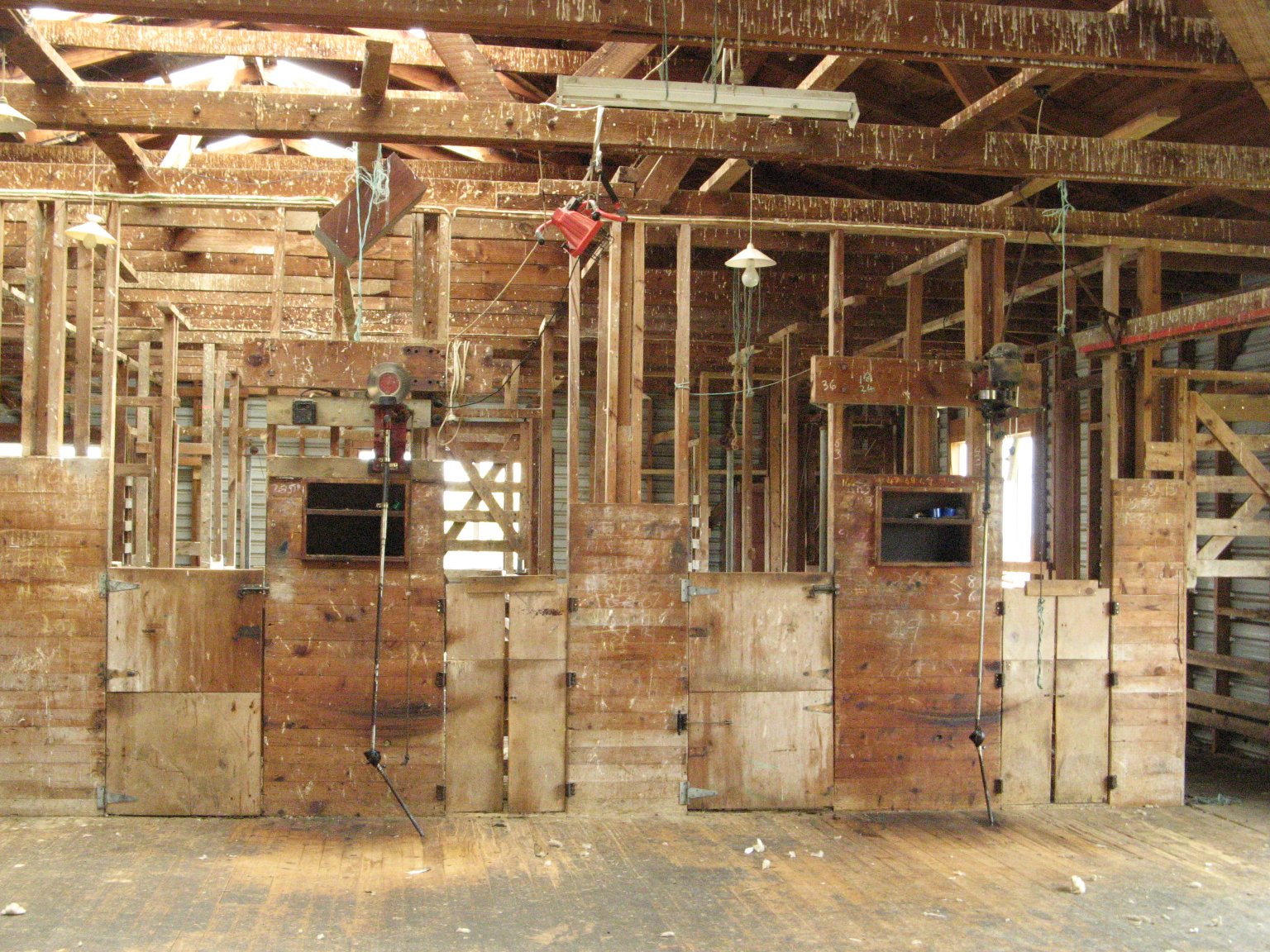


When we walked through the fenced areas for sheep, one was not pasture but rather planted with a leafy vegetable – chicory – and had lambs on it. He is trying this new approach. Although you have to till the soil and plant the chicory, which is more work than pasture, the chicory has high nutrient value and the lambs grow twice as fast on it. The sheep dogs gave terrific demos of their ability to round up and move the sheep. Both were somewhat short haired (not as long as collie anyway) with perky ears and narrow fox-like faces. The smaller one could shoot through the 8-inch square openings in the wire fencing in split second, to get to the sheep on command. The farmer had trained them himself when the pups were at 8 weeks. Video of Sheep Dog in ActionFurther along the farm, there was an orchard with apples and pears. The farmer climbed up a ladder into one of the trees and gave a couple of upper branches a good shake. Down came a tumble of golden pears – Bosc, I think. They were not fully ripe but were crisp and sweet enough to enjoy. In the afternoon, Wing took nap. Elisha and Judy did another walk with Deborah and Lok. David, Magdalen and Sally went to the WOW Museum in Nelson for another look at the fashion art. It has a lot more exhibits than in the Canterbury Museum. One big surprise was a ring on display, which was one of the rings used in the Lord of the Rings movies. 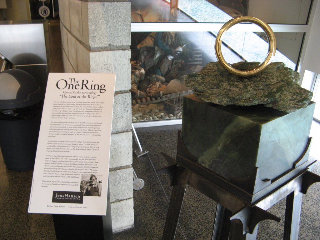 Sunday March 4th Just like the "Fellowship of the Ring", this "Fellowship of the Boat" came to an end. We all flew out of Nelson – David and Sally to the North Island to start our five day exploration in the land of Lord of the Rings by ourselves. Elisha and Judy went back to Sydney, and Wing and Magdalen to Auckland on their way to San Francisco, and Lok and Deborah to Auckland, then Hong Kong. KK and Helen were staying longer in Nelson. Sign Guestbook Back to Home Page AU-NZ Home Sydney Kangaroo Island Kepler Track Mount Doom Rotorua Hobbiton |